Places
The island
Republic of Mauritius
The real island
Nine districts, Le Morne as the southwest finger, Port Louis on the northwest harbour. Tap a district or an islet. Round Island and Serpent Island are marked on the chart — you do not land there.
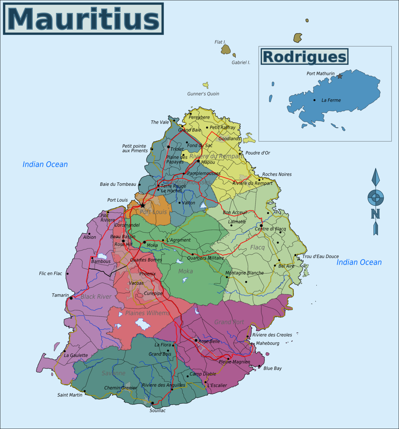
Base map: Wikimedia Commons Map of Mauritius.png · CC BY-SA 3.0. Pins are ours.
7 places · the map is free. Local “what tourists miss” sits on each place at $0.99.
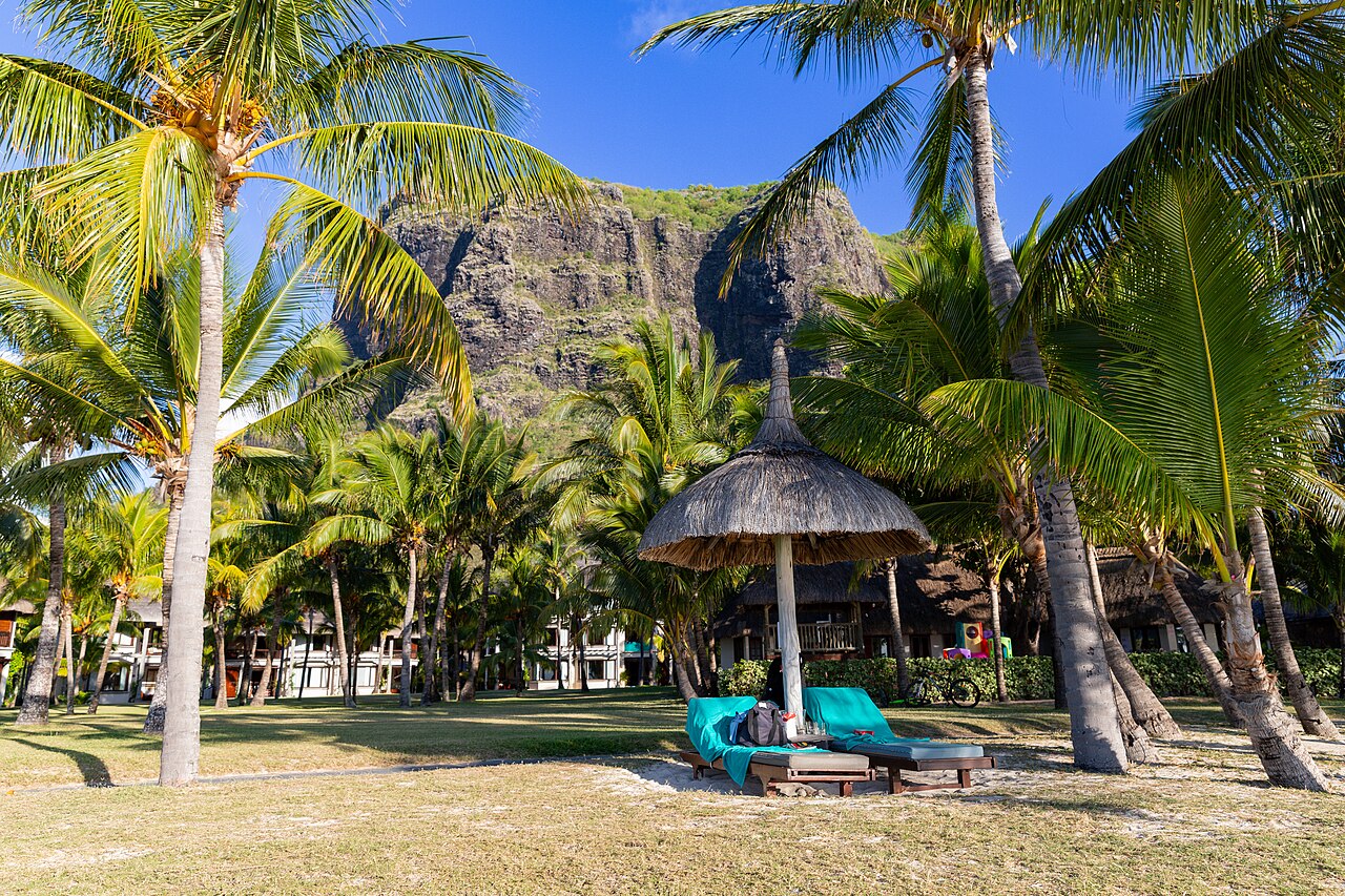
Southwest · UNESCO
Le Morne Brabant
A mountain used as a maroon refuge, now a cultural landscape. Hike it with respect, or simply look.
Folklore · oral tradition
The leap at Le Morne
A widely told story of maroons who leapt from the mountain. It is oral tradition, not a verified single event.
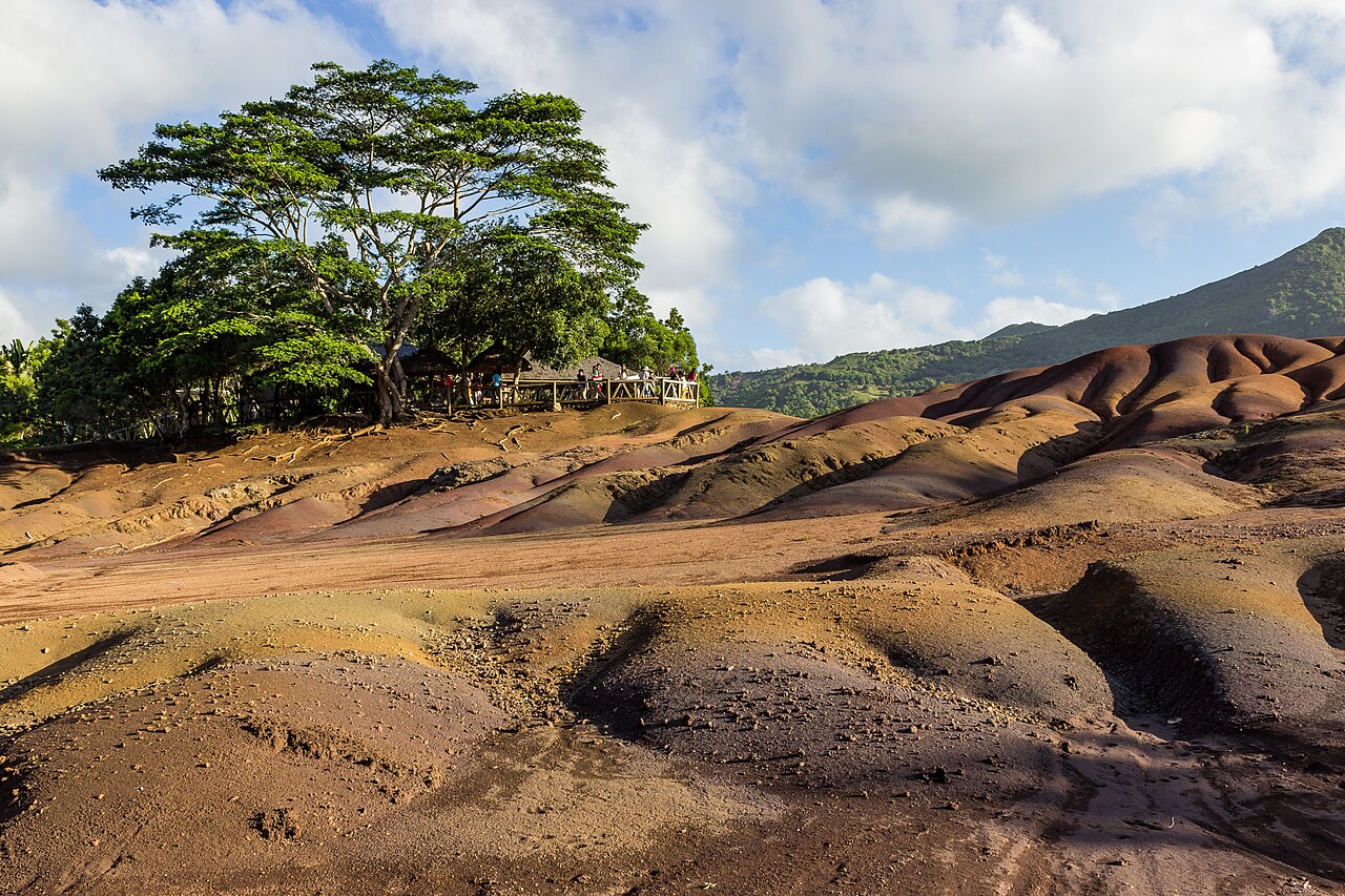
Southwest · geology, not magic sand
Chamarel seven-coloured earth
A small exposure of weathered volcanic soil in dunes of rust, ochre and grey-green. Real, finite, crowded.
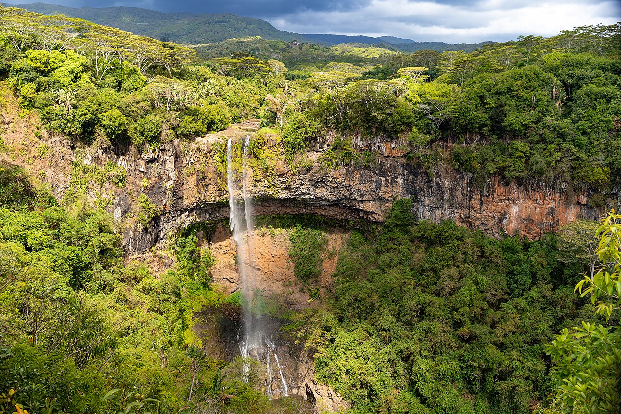
Southwest highlands · native forest
Black River Gorges National Park
The largest remaining native forest block. Viewpoints first; trails only with time, water, and a plan.
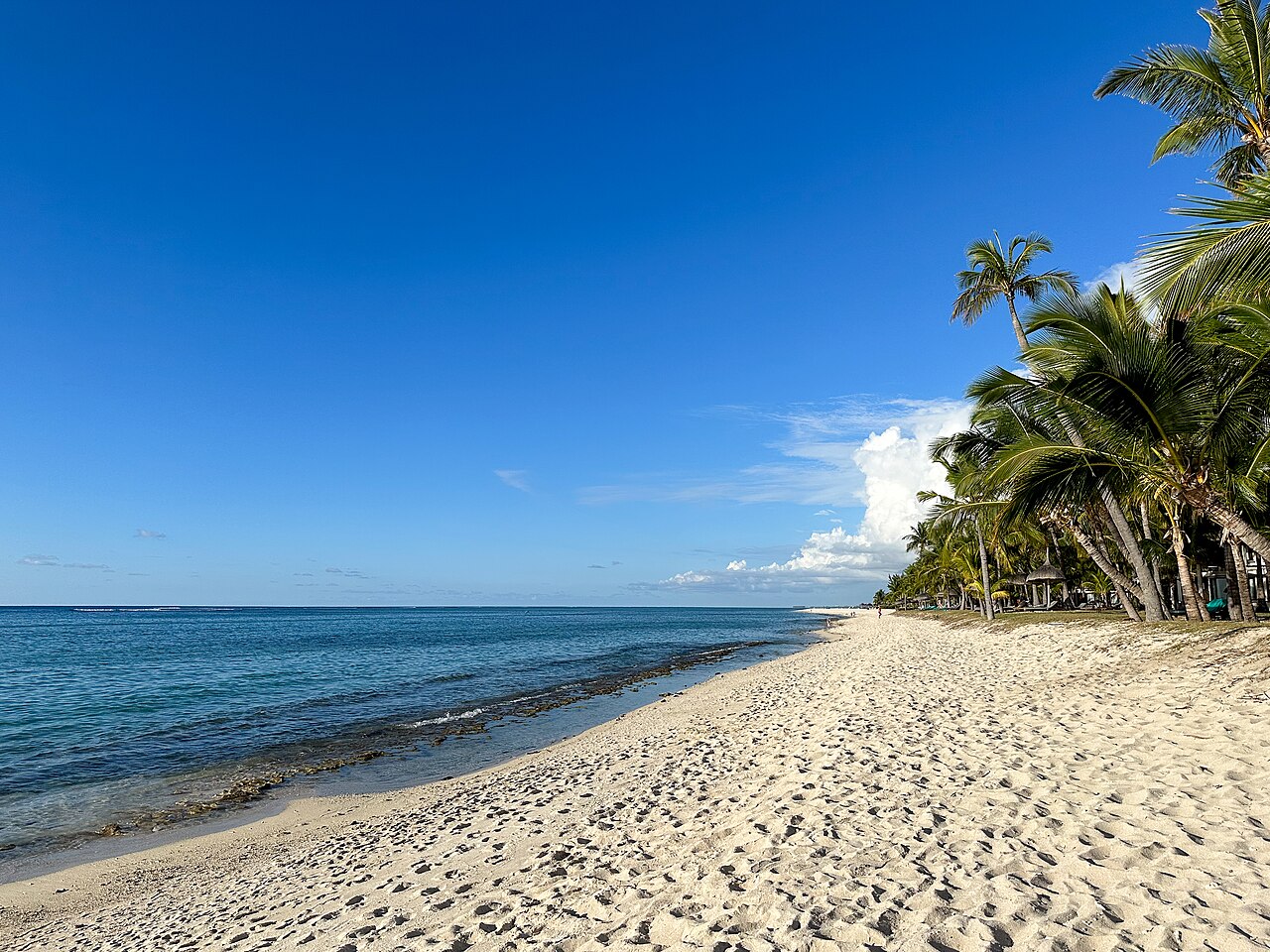
West · the lagoon people actually use
Flic en Flac public beach
A long west-coast public beach with casuarinas, a lagoon, and a village behind it. Sunset, not secrecy.
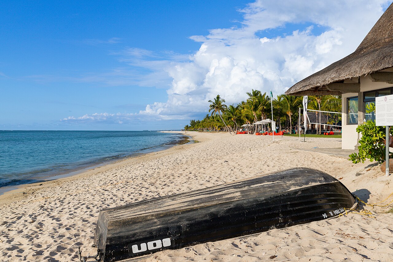
West · river, salt, surf, village
Tamarin
A west-coast village with a river mouth, old salt pans in the landscape, and a different tempo from Flic en Flac.
West · a small British tower with a long sightline
Martello tower, La Preneuse
A Martello tower on the west coast, part of a British system of coastal defence. Overlooked between beach stops.