Wikimedia Commons · CC
Southwest highlands · native forest
Black River Gorges National Park
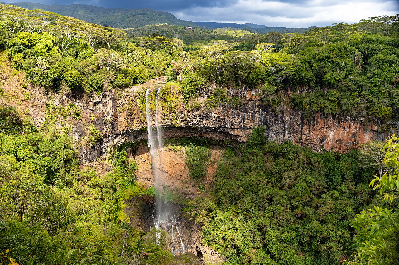
Black River Gorges National Park protects much of what remains of Mauritius's upland native forest. This is where you see the island as a volcanic, forested place rather than a lagoon strip. Viewpoints such as those toward Alexandra Falls are the realistic visit for most travellers. Longer trails exist; they are hikes, not garden paths, and weather on the plateau can sit in cloud while the west coast is bright. Endemic birds, including the Mauritian kestrel's recovery story, are part of the park's conservation meaning — do not expect a zoo. Stay on trail. The gorges drop away suddenly.
History
Why this place exists
Black River Gorges National Park protects much of what remains of Mauritius's upland native forest. This is where you see the island as a volcanic, forested place rather than a lagoon strip. Viewpoints such as those toward Alexandra Falls are the realistic visit for most travellers. Longer trails exist; they are hikes, not garden paths, and weather on the plateau can sit in cloud while the west coast is bright. Endemic birds, including the Mauritian kestrel's recovery story, are part of the park's conservation meaning — do not expect a zoo. Stay on trail. The gorges drop away suddenly.
First visit
To do
- One proper lookout in clear weather — if you arrive in white-out, wait or return, do not force a gorge hike.
- Native canopy versus planted forest, mist moving in the gorge, and birdlife if you stay still. Read any trail board; distances are longer than they look.
Tickets
Cheaper here
Hotel desks add a cut. Buy at the official gate or a licensed skipper. Confirm the price the morning you go.
Location
On the island
OpenStreetMap, live. Pins are the place, not a sponsored hotel.
-20.4267° S · 57.4417° E
Cliff edges at viewpoints, sudden drop-offs, mud after rain, and cool cloud even when the coast is hot. Keep children back from unfenced edges. Trails can be poorly marked in places — do not improvise descents into the gorge.
The story
Lowland forest was cleared for sugar. The upland gorges kept a remnant. The park is the practical place to understand how much of the island was remade, and how small the native fragments are. Conservation of endemic birds is a Mauritian scientific story as much as a scenic one.
What to look for
Native canopy versus planted forest, mist moving in the gorge, and birdlife if you stay still. Read any trail board; distances are longer than they look.
Best time to visit
Clear winter mornings for views. Summer afternoons often cloud over. After heavy rain, skip muddy tracks.
How to get there
Plateau roads from Chamarel, Grand Bassin, or via Plaine Champagne. A car is the realistic tool. Buses do not drop you at trailheads in a useful way.
Cost
Viewpoint access is generally untreated as a theme-park ticket; parking or specific sites may charge. Verify on the day. Guided hikes are a separate paid service.
Time needed
45 minutes for a main viewpoint. Half a day or more for a real trail.
Do not miss
One proper lookout in clear weather — if you arrive in white-out, wait or return, do not force a gorge hike.
Source / references
Mauritius National Parks and Conservation Service public materials; verify trail status before walking.
That 'national park' here is not Kruger. Facilities are limited. The value is the forest remnant and the views, not a visitor centre circuit. Also missed: how the same road day pai…
Crowd: moderate