Places
The island
Republic of Mauritius
The real island
Nine districts, Le Morne as the southwest finger, Port Louis on the northwest harbour. Tap a district or an islet. Round Island and Serpent Island are marked on the chart — you do not land there.
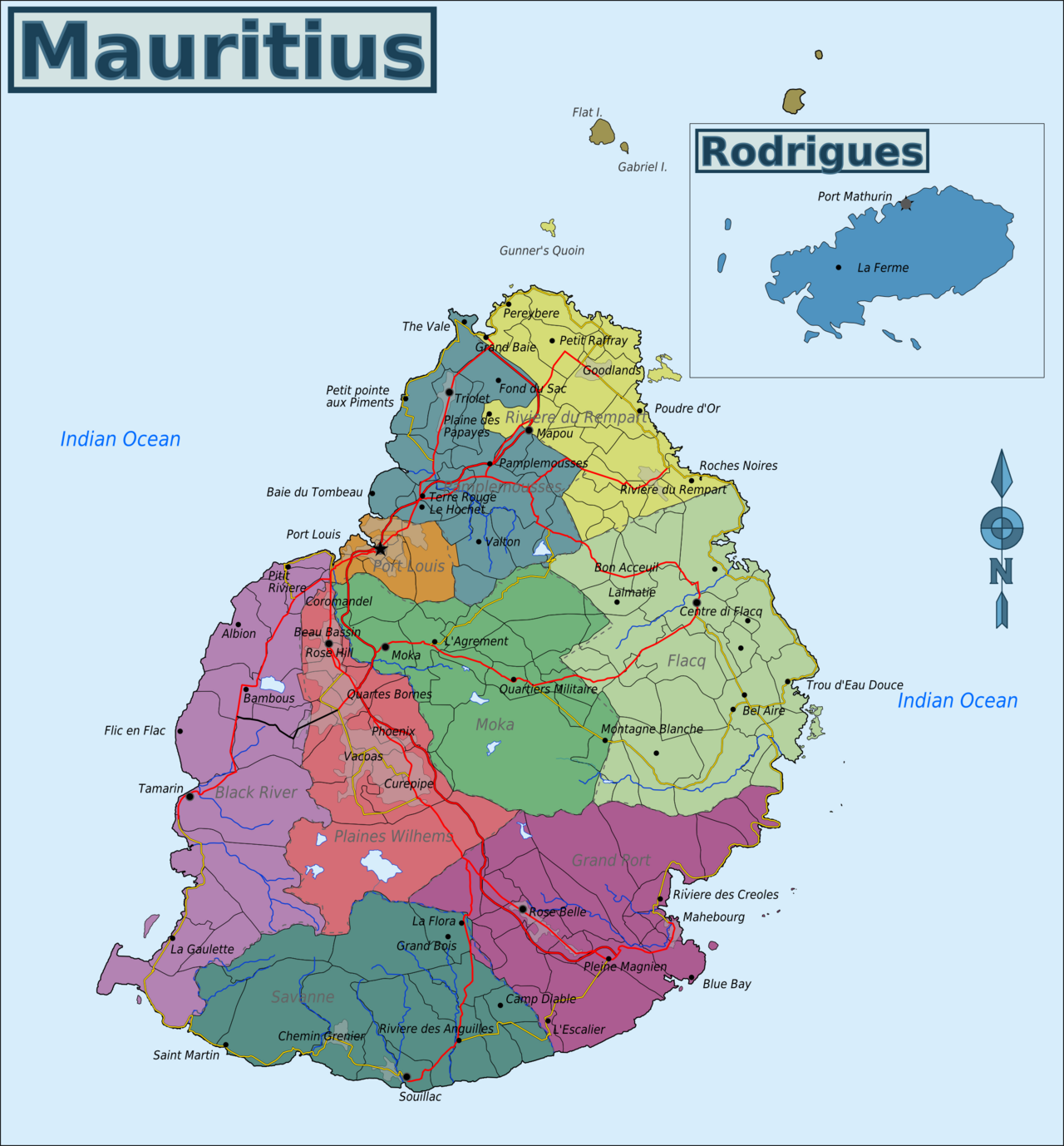
Base map: Wikimedia Commons Map of Mauritius.png · CC BY-SA 3.0. Pins are ours.
6 places · the map is free. Local “what tourists miss” sits on each place at $0.99.
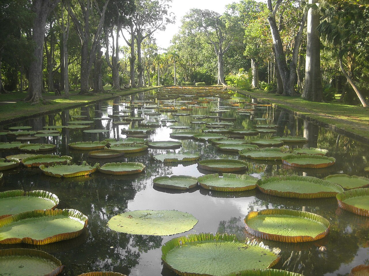
North · oldest garden in the southern hemisphere
SSR Botanic Garden, Pamplemousses
Giant water lilies, spice trees, and a colonial experiment station that became a national garden.
North tip · the red roof
Cap Malheureux
Notre Dame Auxiliatrice, a small red-roofed church at the island's northern cape, with Coin de Mire offshore.
North-east · a village the coach skips
Poudre d'Or
A quieter north-east coastal village, historically tied to shipwreck memory and a slower coast than Grand Baie.
North · sugar as the operating system
L'Aventure du Sucre
A sugar-factory museum that explains why the island looks like this. Go for the system, not only the rum tasting.
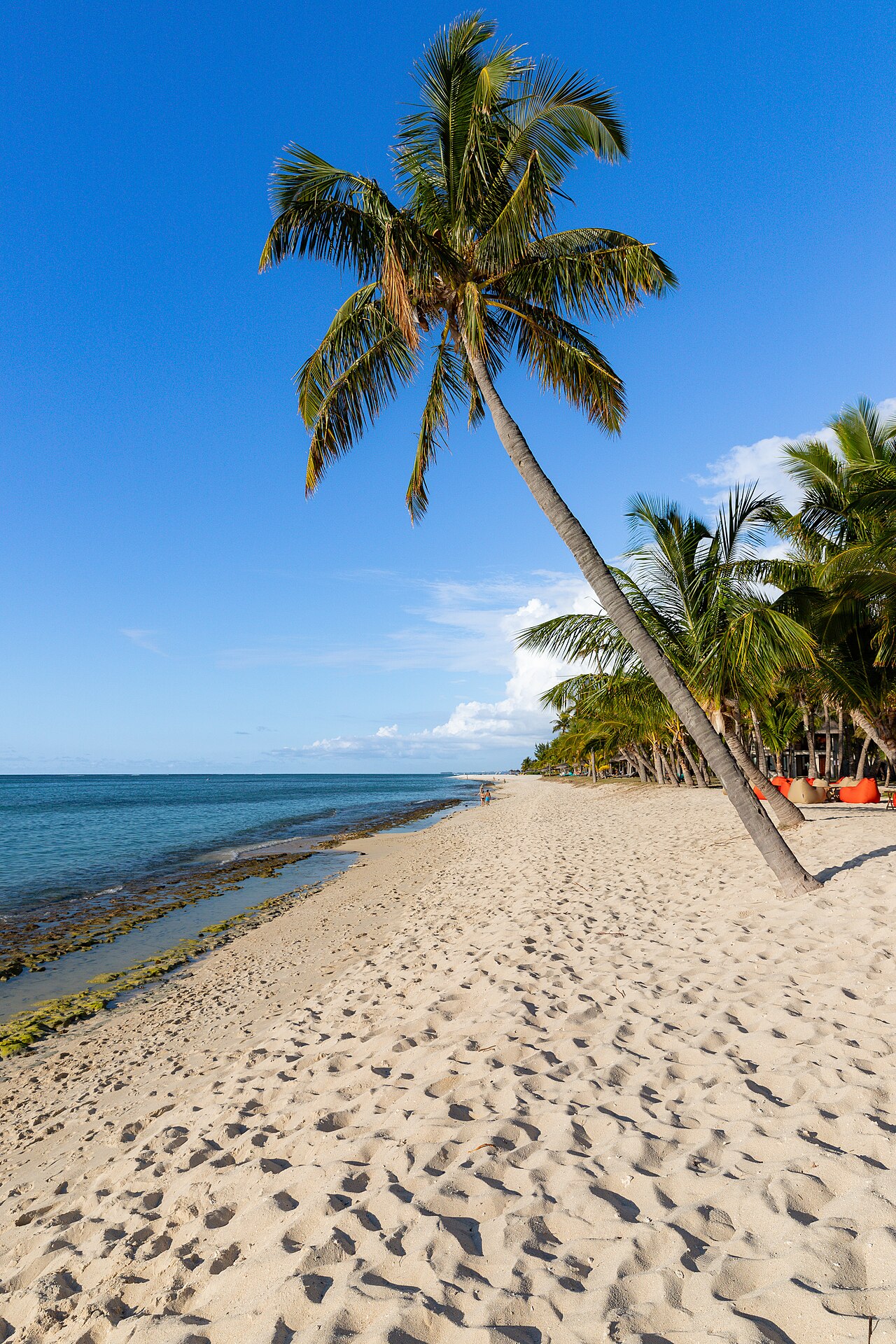
North-west lagoon · public and hotel sand
Trou aux Biches
A long north-west lagoon beach, calm in typical trades, used by families and hotels. Pretty, popular, not a discovery.
North hub · useful, loud, not the whole island
Grand Baie
The north's tourist town: boats, shops, bars, supermarkets. A base and an errand centre. A poor summary of Mauritius.