Places
The island
Republic of Mauritius
The real island
Nine districts, Le Morne as the southwest finger, Port Louis on the northwest harbour. Tap a district or an islet. Round Island and Serpent Island are marked on the chart — you do not land there.
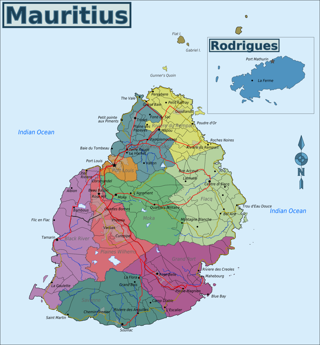
Base map: Wikimedia Commons Map of Mauritius.png · CC BY-SA 3.0. Pins are ours.
4 places · the map is free. Local “what tourists miss” sits on each place at $0.99.
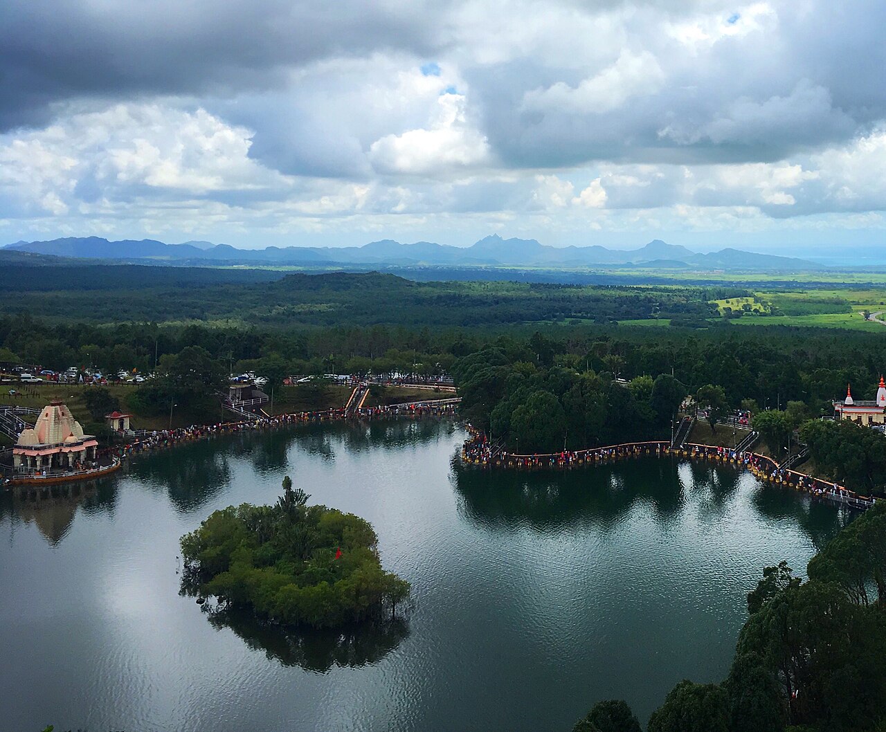
Savanne · sacred crater lake
Ganga Talao (Grand Bassin)
A Hindu pilgrimage lake in a mountain crater. Come as a guest, not as a spectator.
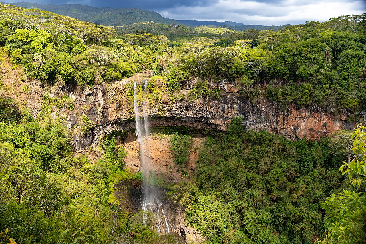
South coast · no lagoon
Gris-Gris and Roche qui Pleure
Where the reef breaks and the ocean hits basalt. A lookout, not a swimming beach.
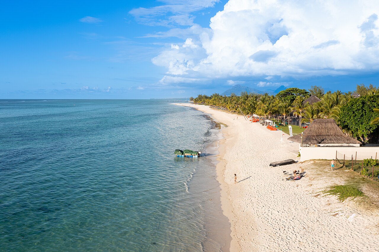
South-east · a lagoon with rules
Blue Bay Marine Park
A declared marine park near Mahebourg. Snorkel only where allowed; the coral is the point.
South-east · where the island's colonial story starts
Vieux Grand Port
Dutch first settlement, later French Grand Port, site of a notable 1810 naval battle. Overlooked by north-coast itineraries.