Places
The island
Republic of Mauritius
The real island
Nine districts, Le Morne as the southwest finger, Port Louis on the northwest harbour. Tap a district or an islet. Round Island and Serpent Island are marked on the chart — you do not land there.
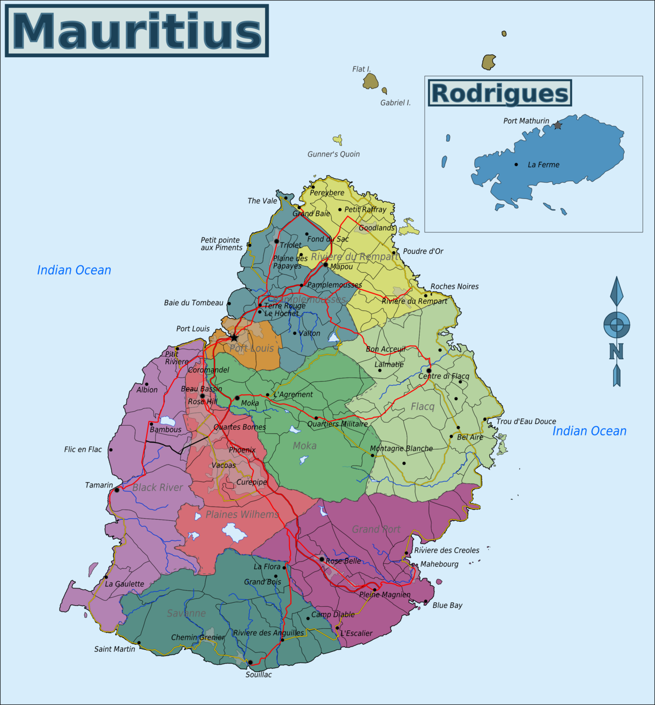
Base map: Wikimedia Commons Map of Mauritius.png · CC BY-SA 3.0. Pins are ours.
3 places · the map is free. Local “what tourists miss” sits on each place at $0.99.
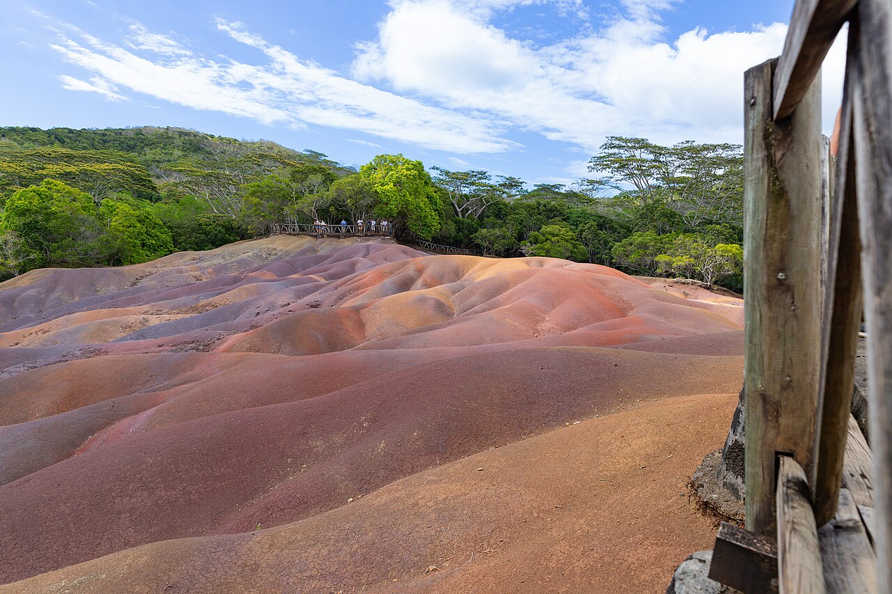
Curepipe · dormant crater
Trou aux Cerfs
A wooded volcanic cone in the plateau town of Curepipe. A local loop, not a wilderness.
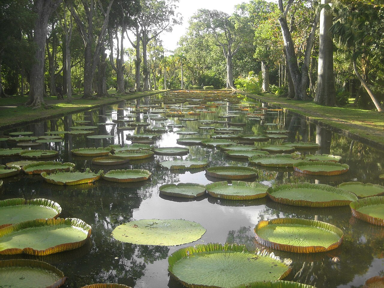
Centre · a Creole mansion you can actually read
Eureka House, Moka
A 19th-century Creole house in the Moka valley, with a river, a lawn, and furniture that explains the planter class.
The rock-balanced peak · look, don't casually climb
Pieter Both
An 820 m mountain with a boulder on top, named after a Dutch VOC official wrecked here. A view for most, a technical climb for few.